
HarperCollins Leaves Israel off School Atlas
Update: Publisher pulls book, which was designed for use in the Middle East
December 31, 2014
(HarperCollins; The Tablet)

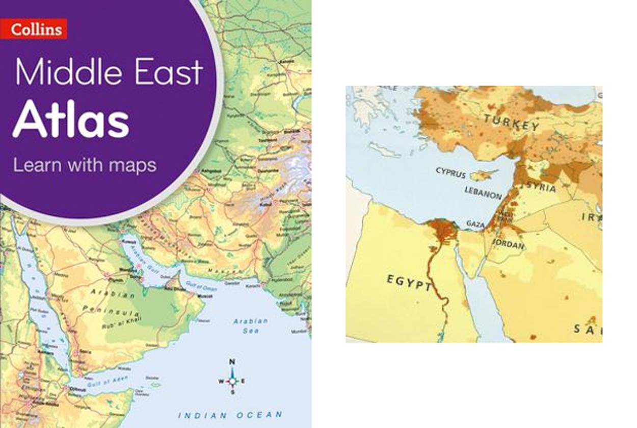
A HarperCollins atlas designed for students at English-speaking schools in the Middle East published in May 2014 has apparently scrubbed Israel from the region. According to the similarly-named U.K. Catholic newspaper The Tablet, the maps in Collins Primary Geography Atlas for the Middle East “depict Jordan and Syria extending all the way to the Mediterranean Sea.”
Collins Bartholomew, the subsidiary of HarperCollins that specialises in maps, told The Tablet that including Israel would have been “unacceptable” to their customers in the Gulf and the amendment incorporated “local preferences”.
According to HarperCollins’ U.K. website, “The atlas has been developed specifically for schools in the Middle East. It has been designed to stimulate and inspire students with its syllabus specific content.”
As JTA points out, the West Bank is “clearly labeled” on the maps. Gaza is marked as well.
A September 2014 review of the atlas on Amazon called it “deceiving and innacurate,” pointing out that Israel was missing.
It’s not the first time the county has been left off a map designed for young readers. Scholastic Inc. stopped shipments of a book in a popular Italian children’s series after a mother discovered that Israel had been left off an illustration in the book. They quickly revised the map and resumed shipments.
Update: HarperCollins announced they were pulling the atlas: “This product has now been removed from sale in all territories and all remaining stock will be pulped.”
Stephanie Butnick is chief strategy officer of Tablet Magazine, co-founder of Tablet Studios, and a host of the Unorthodox podcast.


